From State Forecasts to Space: Why Uttar Pradesh Wants Its Own Weather Satellite
Uttar Pradesh may send satellite to space for weather warning: CM Yogi Adityanath
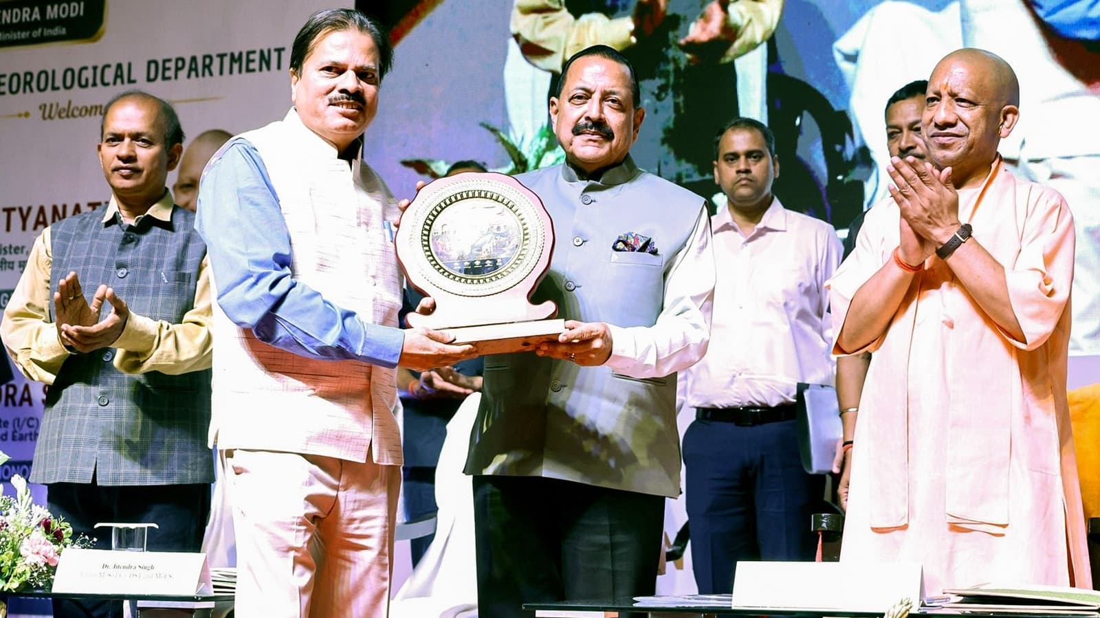
Chief Minister Yogi Adityanath reveals plans to partner with ISRO for a dedicated satellite to sharpen disaster response and climate monitoring.
When a fierce storm swept through parts of Uttar Pradesh on May 13, the tragedy wasn’t necessarily a failure of technology, but a breakdown in the last mile of communication. While the state’s meteorological systems had tracked the incoming weather, the alerts failed to reach the people on the ground in time to prevent significant loss of life and property. It was a grim reminder that in a state as vast and geographically diverse as Uttar Pradesh, data is only as good as the speed at which it reaches a village farmer.
Speaking at the inauguration of the newly upgraded Regional Meteorological Centre in Lucknow, CM Yogi Adityanath signaled a pivot toward a more proactive, tech-driven approach. Alongside Union Minister for Science and Technology Jitendra Singh, the Chief Minister confirmed that his administration has initiated early-stage discussions with the Indian Space Research Organisation (ISRO). The goal? To potentially launch a dedicated satellite that focuses exclusively on the climate parameters and weather patterns unique to the state.
The Push for Localized Data
The proposal for a space mission is the latest in a series of efforts to fortify the state’s observation network. Currently, the landscape of weather monitoring in Uttar Pradesh has shifted significantly, with the government rolling out 450 Automatic Weather Stations and 2,000 Automatic Rain Gauges at the block level. These tools are designed to feed real-time information to the agricultural sector, where timing often dictates the difference between a bumper harvest and a wasted season.
However, the CM pointed out that hardware is not a silver bullet. Reflecting on the May 13 incident, he noted that after he intervened to fix communication gaps in the local administration, the system showed its potential just days later. When the next disaster threat emerged, mobile alerts successfully reached citizens three hours in advance. This experience seems to have convinced the state leadership that while the network is expanding, the ability to monitor the state from orbit could offer a layer of precision that ground-based stations alone cannot provide.
Why it matters
The ambition to own a state-specific satellite points to a growing trend: regional governments are no longer waiting for centralized national datasets to manage local climate risks. As extreme weather events—from unpredictable droughts to sudden, high-intensity rainfall—become more frequent, the pressure on state governments to provide hyper-local, accurate forecasts is mounting.
If this mission moves from the discussion table to the launchpad, it would mark a significant shift in how Indian states handle disaster mitigation. It transitions the approach from reactive disaster management to proactive surveillance. By integrating local administrative accountability with advanced ISRO-backed space technology, the state is betting that it can turn weather warnings into a reliable lifeline for its rural population, effectively narrowing the gap between a satellite’s eye view and a farmer’s field.
Features Desk at PoliticalPedia covers culture, tech & life for an Indian audience in English and Hindi.