The Great Nicobar Transformation: How India Is Redrawing Its Maritime Map
The Great Nicobar Transformation: How India Plans To Turn A Remote Island Into A Strategic Powerhouse
A multi-billion rupee project aims to convert a remote, ecologically sensitive island territory into a formidable logistics and security hub in the Indian Ocean.
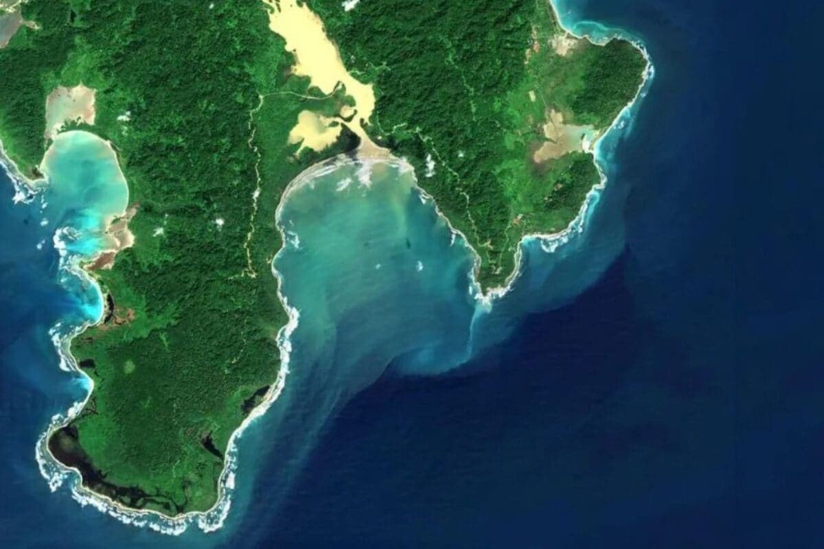
Deep in the blue expanse of the Bay of Bengal, the Great Nicobar Island has long been defined by its pristine forests and isolation. That is set to change. As India recalibrates its maritime strategy to counter shifting geopolitical realities, the government is moving ahead with an ambitious plan to turn this remote island into a strategic powerhouse. Positioned precariously close to the Six Degree Channel and the Malacca Strait—one of the world’s busiest and most vital shipping lanes—the island is being eyed as the country’s next major integrated logistics gateway.
The Infrastructure Blueprint
The project is not just a port; it is a comprehensive overhaul of the territory’s functionality. Current plans detail a massive trans-shipment facility designed to handle the world’s largest cargo vessels, a naval-controlled airfield, a new township to support the influx of personnel, and a dedicated power plant. By moving away from legacy infrastructure that has historically constrained India’s reach, this project seeks to establish a permanent, modern footprint that can monitor and secure critical Sea Lanes of Communication (SLOCs) with greater speed and efficiency.
Why it matters
The rationale here is both economic and defensive. For years, India has relied on foreign ports to handle a significant portion of its trans-shipment cargo, a dependency that carries both high costs and strategic vulnerabilities. By building a world-class facility within its own borders, New Delhi hopes to capture a larger share of regional maritime trade. Beyond the balance sheets, the security implications are clear: the presence of an extra-regional military footprint in the Indian Ocean has prompted this push. This development is effectively India’s way of ensuring it isn't sidelined in the contest for control over one of the world’s most significant maritime corridors.
The Dilemma of Development
While the strategic logic is sound, the Great Nicobar transformation faces significant scrutiny. Environmentalists and policy observers have raised red flags about the ecological impact of such a massive construction project on an island known for its unique biodiversity. The tension between rapid, necessary infrastructure growth and the preservation of a fragile ecosystem remains the core of the ongoing debate. As the project progresses, the government will have to balance its need for a "strategic powerhouse" with the reality of operating in a sensitive, protected territory.
The project is now moving past the planning phase, and its eventual completion will signal a permanent shift in how India asserts its authority in the Southern reaches of the Indian Ocean. Whether it succeeds in becoming a commercial rival to existing regional hubs or serves primarily as a military watchtower, the island’s transformation is set to be one of the most significant Indian infrastructure stories of the decade.
Features Desk at PoliticalPedia covers culture, tech & life for an Indian audience in English and Hindi.